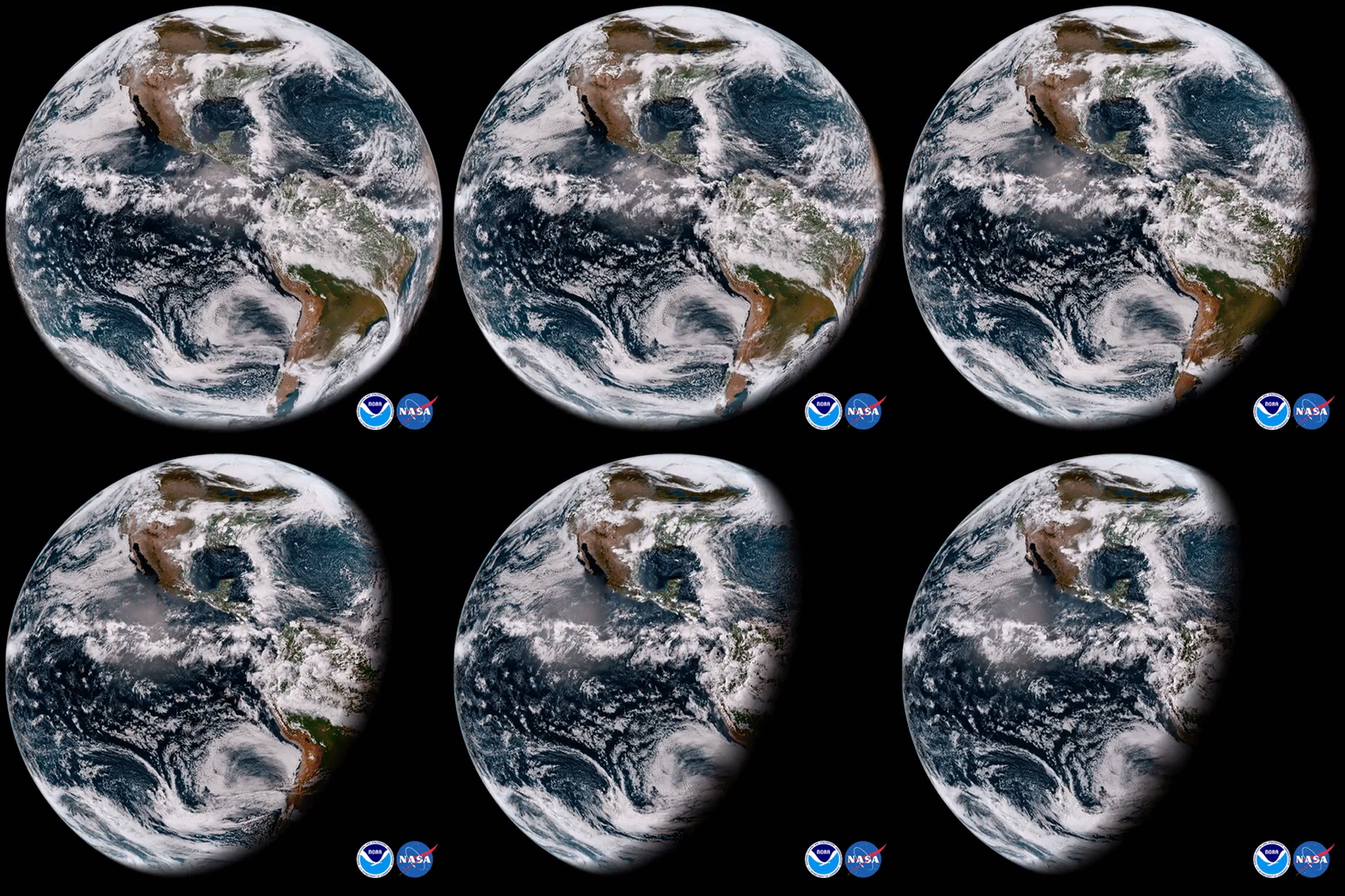
On March 1, 2018, NASA and NOAA successfully launched GOES-17 , the second in a new series of four highly advanced geostationary weather satellites. Once positioned in its final orbit, the satellite will be renamed GOES-West and provide coverage of the American continent and much of the Pacific Ocean.
This short sequence contains the first images captured by the Advanced Baseline Imager (ABI) on board the satellite. It combines imagery from two visible and one infra-red spectral bands to form a ‘GeoColor’ composite. The new generation of GOES is capable of viewing the Earth across 16 spectral bands and provides 4x the spatial resolution and more than 5x faster coverage than its predecessor.
Unfortunately, the ABI on GOES-17 encountered cooling issues after deployment that severely impairs the performance of 13 near-infrared and infrared spectral bands. It’s unclear what caused the issue and whether it can be resolved.
Source: https://youtu.be/7XlfE0ndv_g (NOAA)
Learn More: https://www.nesdis.noaa.gov/GOES-R-Series-Satellites
#ScienceGIF #Science #GIF #GOES #GOES17 #NASA #NOAA #Hemisphere #Advanced #Baseline #Imager #ABI View Original Post on Google+

