🌕🌔🌓🌒🌑🌘🌗🌖🌕
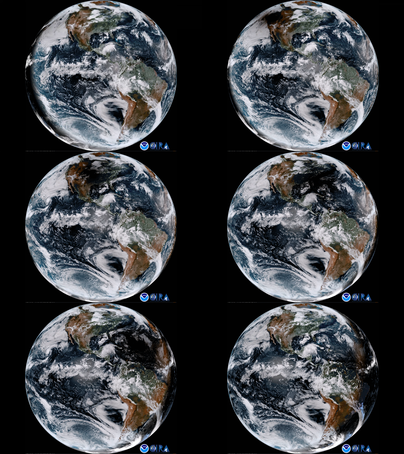
Today’s eclipse was the first total solar eclipse visible from most of the continental United States since 1979. Millions of people travelled to experience the celestial event along the 70-mile-wide path of totality that spanned the width of the country from Oregon to South Carolina.
This high resolution imagery of the Moon’s shadow passing over the United States was captured by the GOES-16 satellite. It is the first of the next generation of geosynchronous environmental satellites jointly operated by NASA and NOAA that will provide atmospheric and surface measurements of Earth. Data from the GOES system is used for weather forecasting, severe storm tracking, space weather monitoring, and meteorological research.
Source: https://goo.gl/6yYYKB (NOAA)
#ScienceGIF #Science #GIF #Solar #Eclipse #Totality #NOAA #NASA #Satellite #Space #GOES16 #Geosynchronous #Environment #Climate #Weather #Meteorology #Geocolor #Animation #Clouds #Shadow #Penumbra #Umbra #United #States #America #USA View Original Post on Google+

