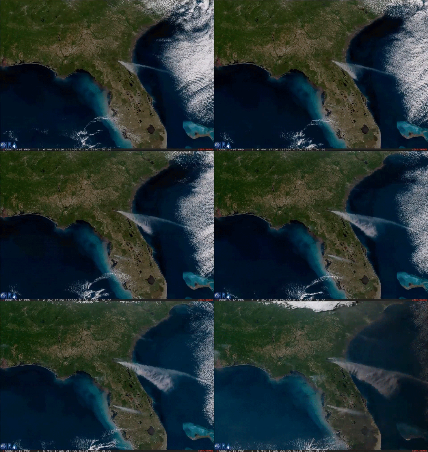
This imagery of smoke from an enormous wildfire in southeast Georgia was captured by the American GOES-16 weather satellite. It is the first of the next generation of geosynchronous environmental satellites jointly operated by NASA and NOAA that will provide atmospheric and surface measurements of Earth. Data from the GOES system is used for weather forecasting, severe storm tracking, space weather monitoring, and meteorological research.
GOES-16 was launched from Cape Canaveral on November 16, 2016, and entered geostationary orbit 26,200 miles above the surface of the Earth where it surveils the Western hemisphere. The satellite is capable of viewing the Earth across 16 spectral bands and provides 4x the spatial resolution and more than 5x faster coverage than its predecessors. The satellite also contains instrumentation for mapping lightning on Earth, imaging the ultraviolet spectrum of the Sun, measuring solar emissions, and tracking the outer magnetosphere of the planet.
Source: https://goo.gl/y16LuR (NOAA)
More GOES-16 Imagery: https://goo.gl/iNTz9L
#ScienceGIF #Science #GIF #NASA #NOAA #GOES #GOES16 #Wildfire #Florida #Georgia #Smoke #Satellite #Image #EarthScience #Climate #Research View Original Post on Google+

