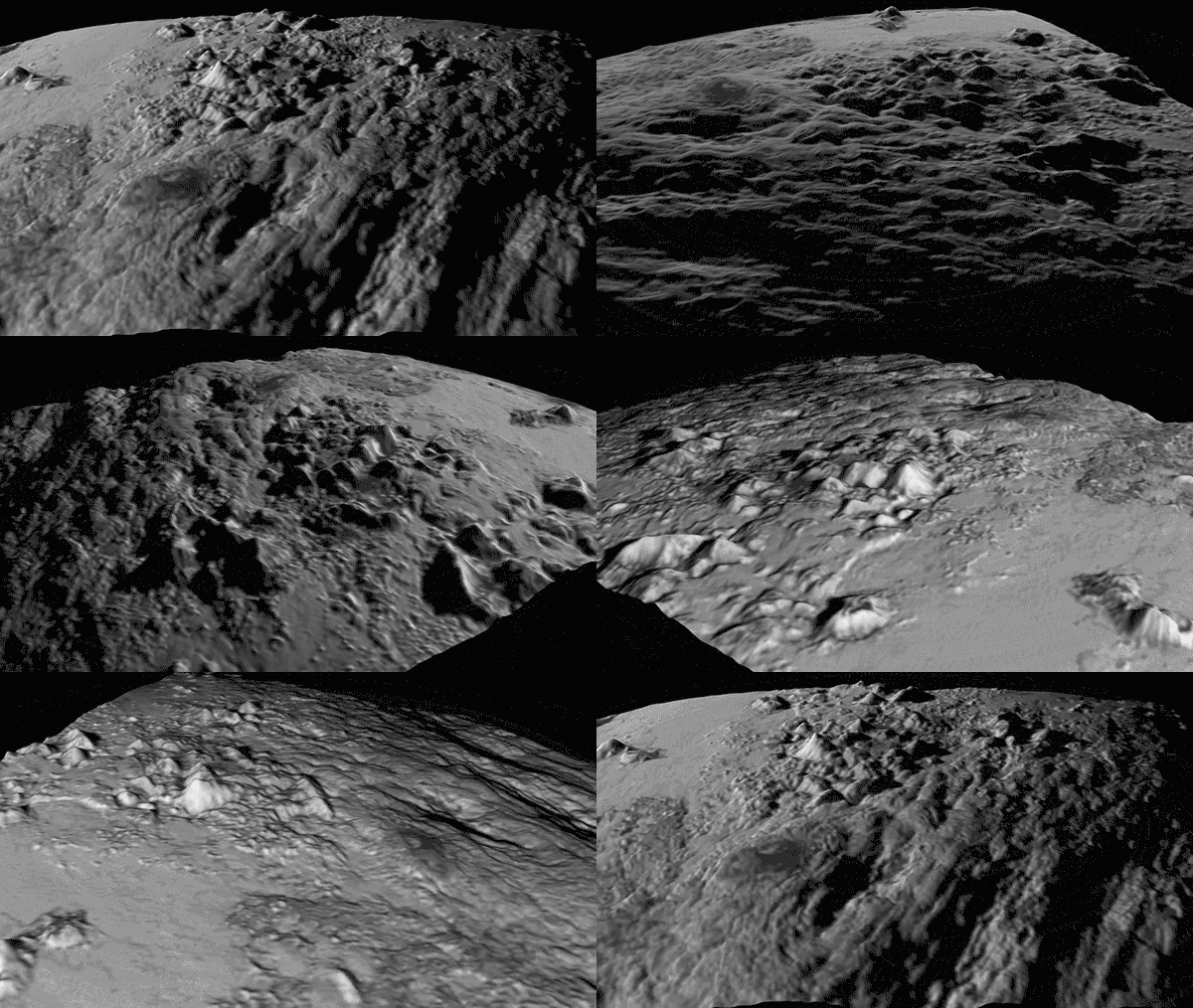
This 360-degree visualization of the surface of Pluto was generated by a YouTuber from imagery taken by NASA’s New Horizons spacecraft during its recent #PlutoFlyby . The three-dimensional# surface detailed was extracted from a two-dimension image using a technique called photoclinometry. Also known as “shape-from-shading,” it uses the shadows and light direction as reference points to construct a 3D bump map from an otherwise 2D image. Newer satellites use a two-camera (or two lens) technique called stereoscopy to achieve more accurate three dimensional perspectives.
Source: https://youtu.be/37TNyDHZExA
#ScienceGIF #Science #GIF #Pluto #NewHorizons #Imagery #Photoclinometry #ImageProcessing #3D #Rotation #Camera #Surface #Mountains View Original Post on Google+

