On March 1st, +NASA and NOAA successfully launched GOES-S , the second in a new series of four highly advanced geostationary weather satellites. Once positioned in its final orbit, the satellite will be renamed GOES-West and provide coverage of the American continent and much of the Pacific Ocean.
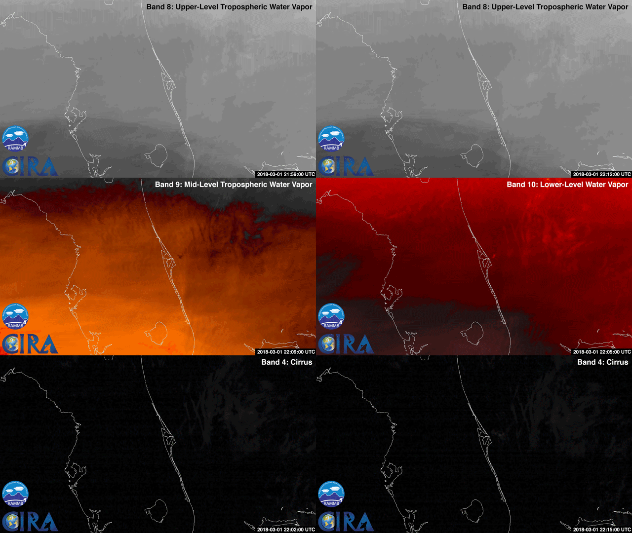
GOES-East captured the launch of GOES-S from Cape Canaveral as visualized here across several imaging bands. The water vapor trail left behind by the Atlas V rocket can be clearly seen across the high-, mid-, and low-level tropospheric water vapor channels as well as the cirrus cloud channel.
The new generation of GOES is capable of viewing the Earth across 16 spectral bands and provides 4x the spatial resolution and more than 5x faster coverage than its predecessor. The satellites also contain instrumentation for mapping lightning on Earth, imaging the ultraviolet spectrum of the Sun, measuring solar emissions, and tracking the outer magnetosphere of the planet.
Source: https://col.st/j62Fp (CIRA/RAMMB)
#ScienceGIF #Science #GIF #GOES #Geostationary #Environment #Satellite #NASA #NOAA #Florida #Cape #Canaveral #Launch #Vapor #Band #Cirrus #Tropospheric #Water #Imagery #Timelapse #Imaging View Original Post on Google+

